So if you prefer to watch the video rather than read about it. Here it is! The video shows more the technical driving over the 2 river crossings.
Day 9 – 9 Sept 2017 The Frenchman’s Track Chili Beach to Moreton Telegraph Station
138.6km 4hr 22min driving time
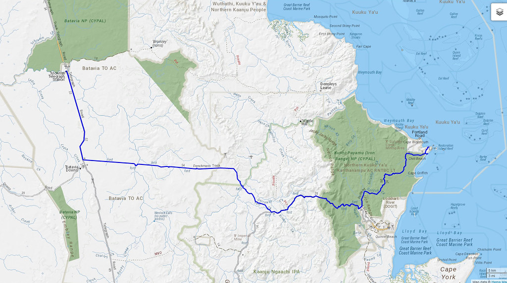
So the Frenchman’s Track is considered to be one of the more challenging tracks on the Cape. We found it to be quite easy in our Jeeps and in actual fact we were disappointed that it wasn’t more challenging.
Most people drive it west to east due to the steepness of a couple of the River crossings. But we went east to west just to prove we could do it.
The Frenchman’s Track is infamous for 2 river crossings – The Pascoe River and the Wenlock River. The Pascoe River in particular can be impassable in high water seasons.
The start of the Frenchman’s Track on the east side is not marked so you need a GPS to locate where you are. It’s on private land so you are not allowed to deviate off the path.
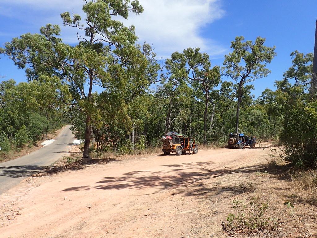
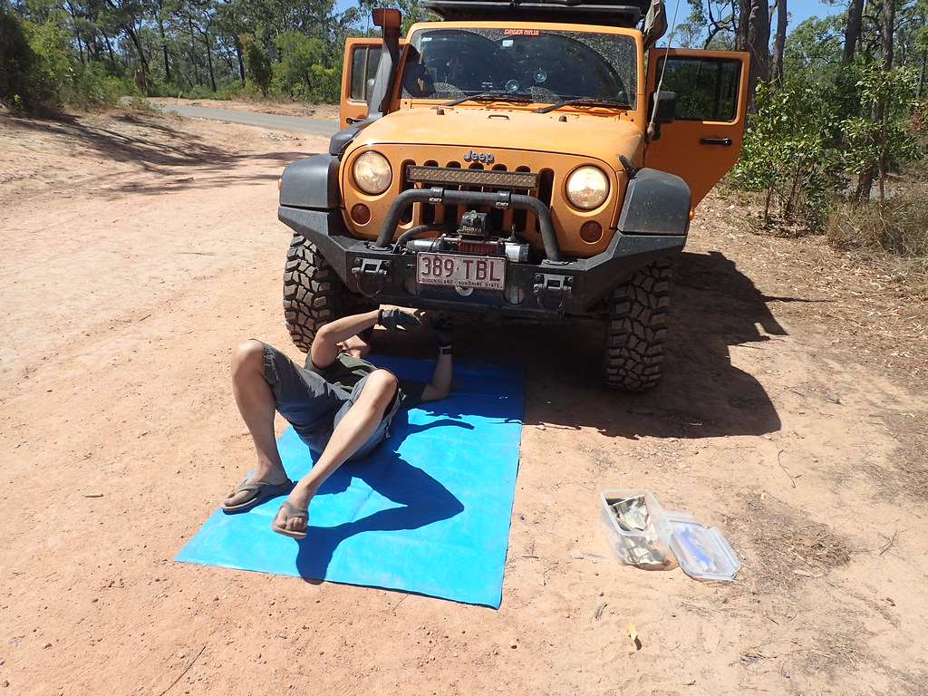
We decided to disconnect our sway bars which was worth it as there are uneven ruts and there was rock climbing to be done.
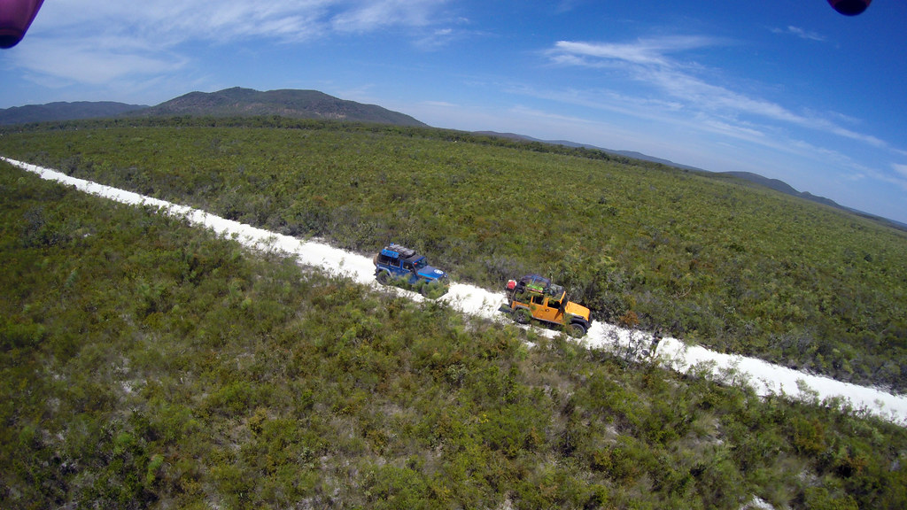
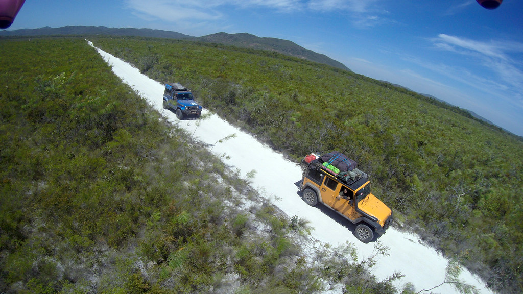
The first part of the track crosses a beautiful flat plain across Kutini Payamu Iron Range National Park. You are at elevation here surrounded by flat heathland and driving on pure white sand. You need a drone in the air to really appreciate the beauty of what you are driving through.
Then the track wraps around a gorge and then descends into the Pascoe River.
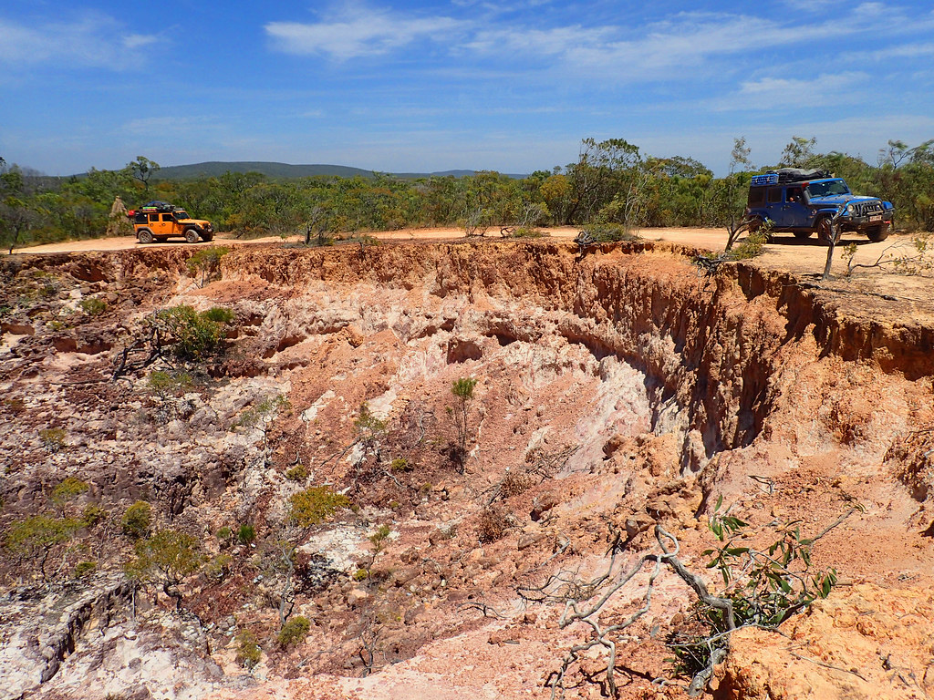
The Pascoe is considered to be the deepest water crossing at the Cape. I certainly think in comparison to Nolan’s Brook and Scrubby Creek that this is not correct. I’m sure sometimes it is deep but it is probably difficult due to the flow of the water and the rocky base.
We asked the ranger at Lockhart about the current crossing conditions and he made it sound worse than it was. I reckon a lot of the locals deal with amateur 4wd people and prefer to make the crossing sound more ominous than it is. You need to check things out yourself if you are a confident 4wder.
The eastern drop into the Pascoe is very steep but firm dirt base. You have to check my video for how it looks. It is quite rutted though and I am sure it changes season to season.
The Pascoe apparently does have crocs in it but not at the crossing. In any case you can see the base easily in the low water season. There are large pot holes in the base so we hugged the downstream side.
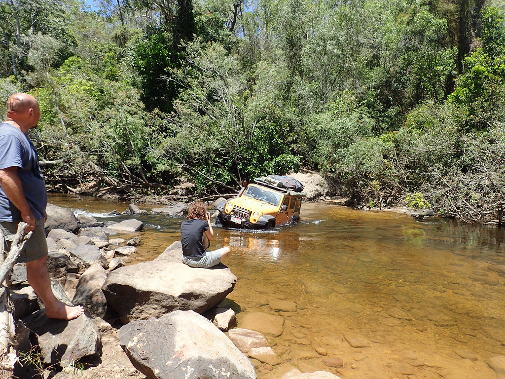
Climbing the western side is definitely challenging because it is very rocky and your tyres will be wet and slippery. Saying that, we did it easily. This is the only time on the Cape that I was happy that I had mud tyres on instead of all terrains.
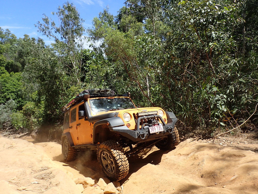
From the Pascoe the trail ascends and then descends into bushland which is a nice drive and can mostly be done in 2wd.
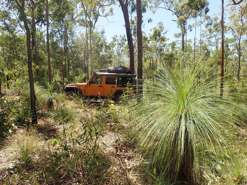
There’s a couple of minor bog hole crossings but that is it as far as the difficulty.
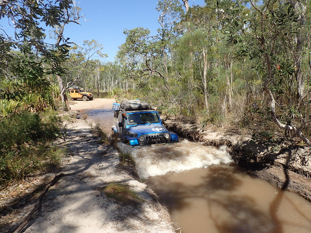
Then after about 1 hour you hit the Wenlock River which is not impressive as a river crossing. A lot of people camp in the river bed which does look inviting. I always wonder if that is sane considering there are crocs in the area but I guess the river is so shallow that you would see them easily… if they don’t eat you out of your tent at night.
Camping there is obviously a done thing. I personally wouldn’t.
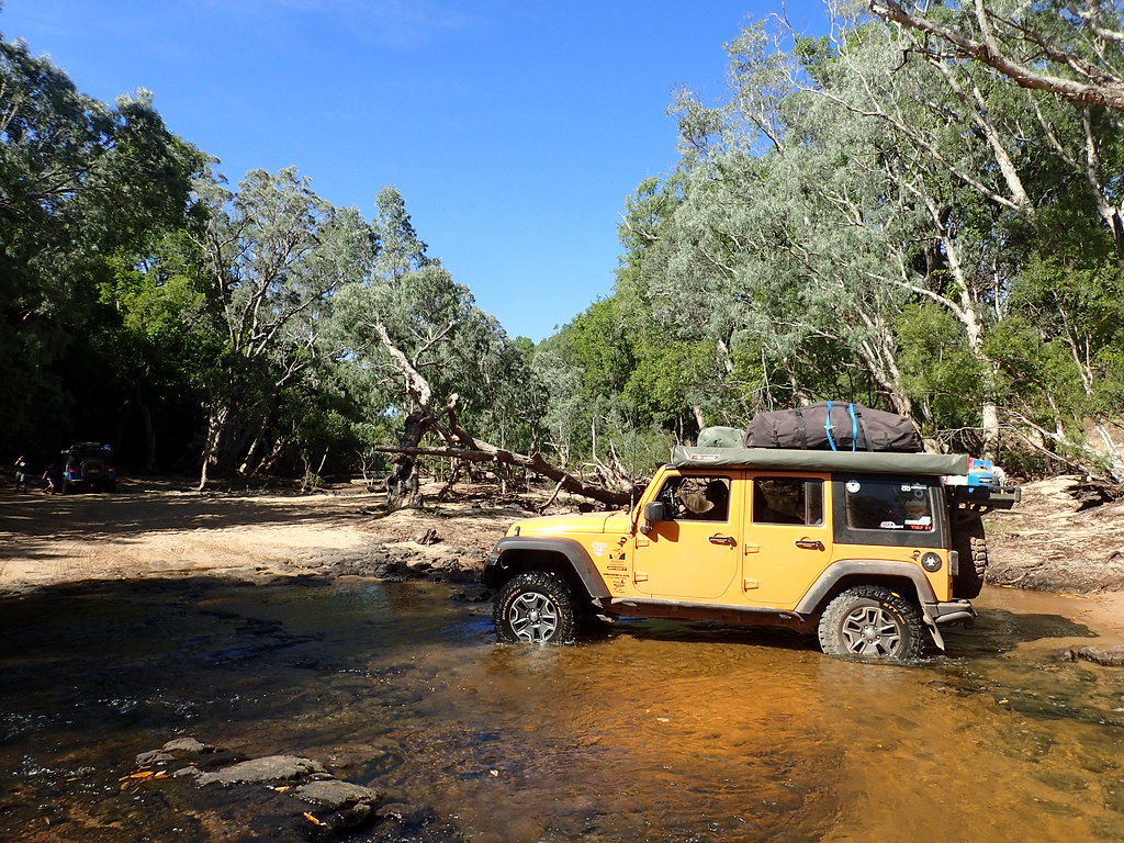
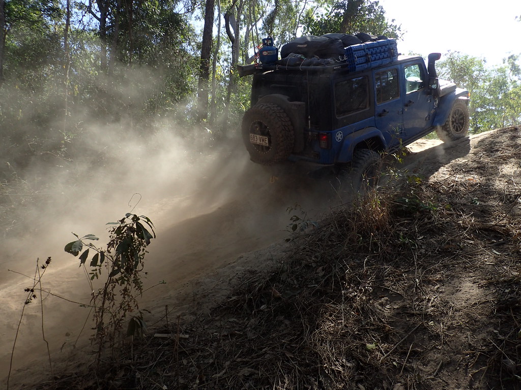
The western climb out of the Wenlock is the main challenge but even then we thought it was easy. There are 2 climbs – one on the north side and one on the south side that is easier than the north. The base is bull dust so it’s not as slippery as sand. But I’d imagine in wet weather it would be very muddy though.
To prove how easy it is, my drive shaft busted so I did it in 2wd and it was steep but the grip was fine.
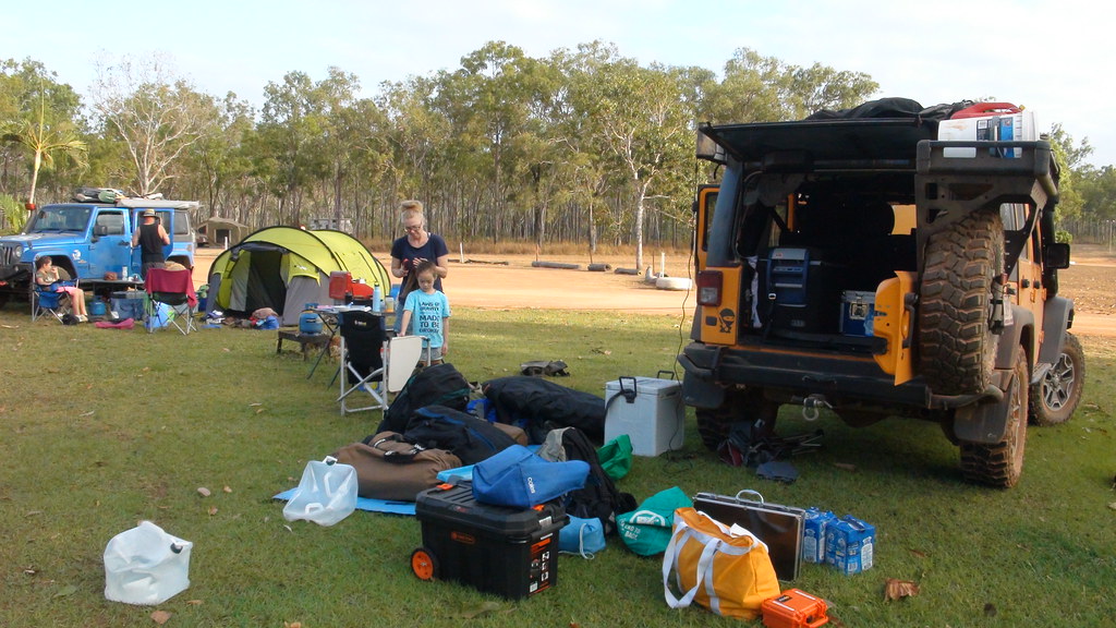
We finished up at Moreton Telegraph Station which was only 25 minutes away from the Frenchman’s western access road. It was a pretty place and filled with Mango eating wild cows.
There are more photos at this link if you are interested.
Next up: The infamous Old Telegraph Track and Gunshot Creek in a Mankini!


Leave a Reply